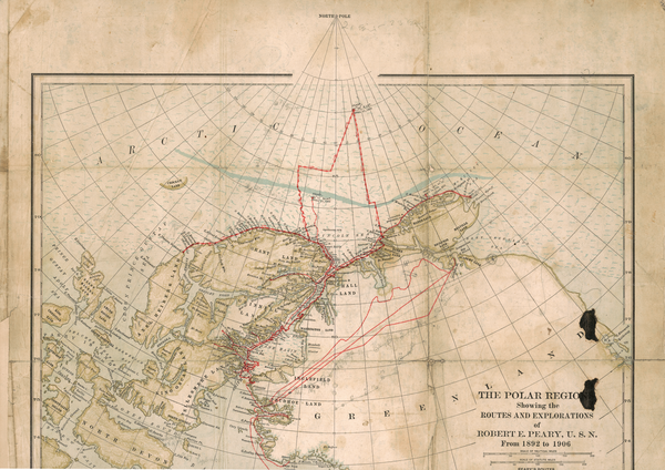
The Danish Arctic Institute's map collection consists of approximately 5,000 maps of many different types - from triangulation sketches, hand-drawn maps and early printed maps to many series and types of printed maps, primarily from Greenland but also from the rest of the Arctic and partly Antarctica. A large portion of these can be seen on www.arktiskebilleder.dk
For more information about the map collection, contact the archive manager ([email protected]), who can send you our map registry (Excel sheet, in Danish only).
The mapping of East Greenland and the naming of localities that have taken place over several centuries are presented in detail in the database "East Greenlandic Place Names" ("Østgrønlandske Stednavne", in Danish only).


